Related Links
AirMOSS
Airborne Microwave Observatory of Subcanopy & Subsurface Mission
GLISTIN-A
Airborne Glacier/Land Ice Surface Topography Interferometer
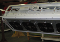
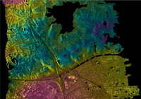
AIRSAR
Airborne Synthetic Aperture Radar
SRTM
Shuttle Radar Topography Mission
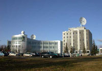
ESTO
Earth Science Technology Office
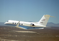
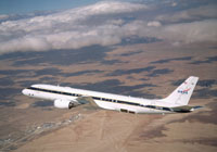
NASA Armstrong G3
The L-band SAR typically flies on this airplane
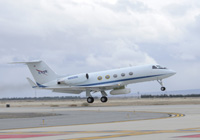
NASA JSC G3
The P-band SAR typically flies on this airplane

SOFRS
Airborne Science Program's Science Operations Flight Request System
ASF
Alaska Satellite Facility
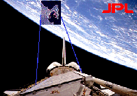
SIR-C
Shuttle Imaging Radar - C
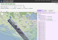
NASA Gulf Oil Spill Data
Airborne instruments study the 2010 Deepwater Horizon Gulf of Mexico oil spill
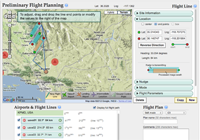
Student Flight Planning
This web flight planning tool is designed for students to learn how NASA scientists plan airborne science flights of a synthetic aperture radar (SAR), which is a side-looking instrument.